MacGougan at Large
Notes on a Trip to Ferry Land - 3

Shelter Island
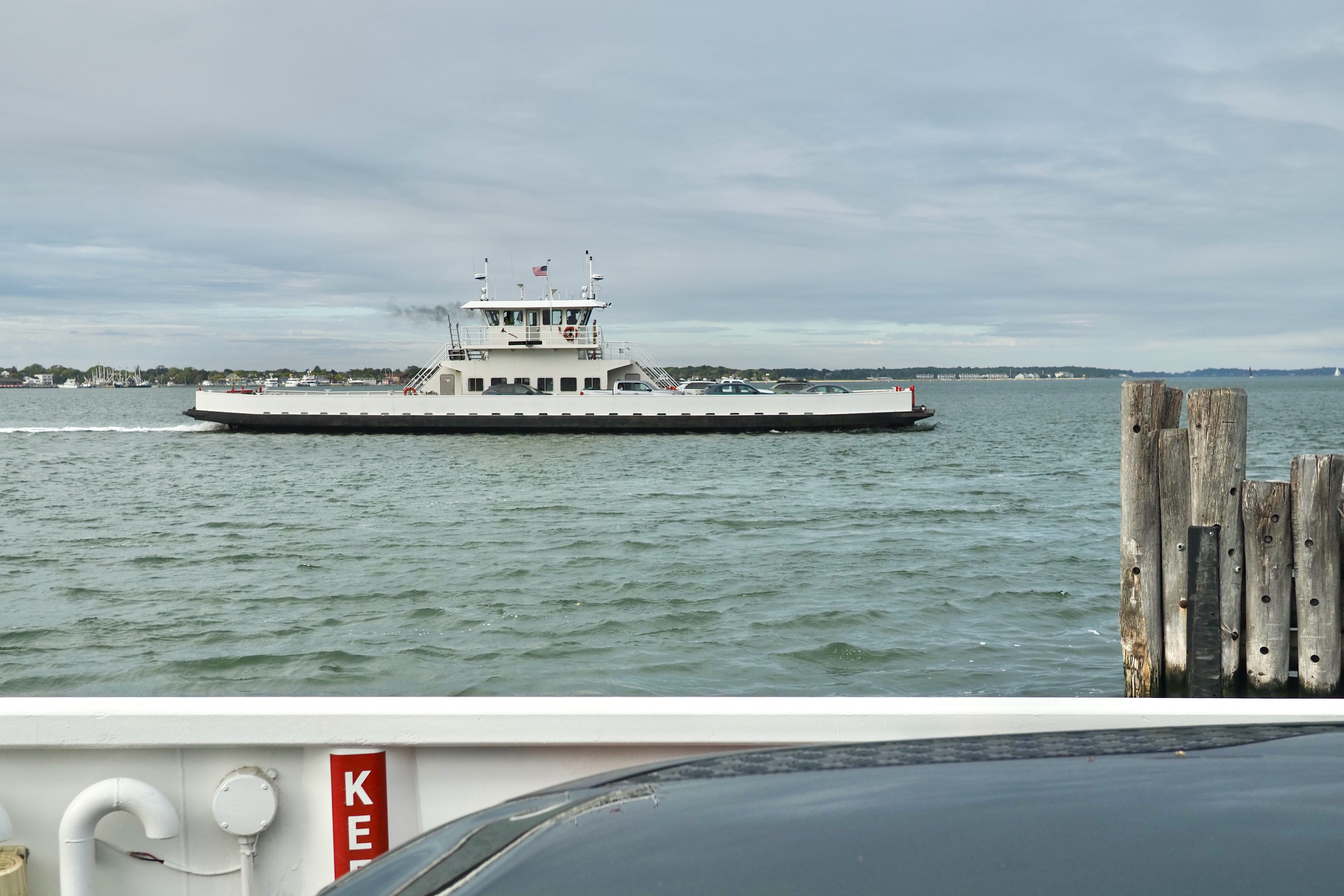
The easiest and most fun way to travel from the North Fork of Long Island to the South Fork (or vice versa) is to drive across Shelter Island. This means taking the cute, little ferry onto the island on one side and a similarly cute, little ferry off the island on the other side.
Here’s the view from one north-side ferry to another.
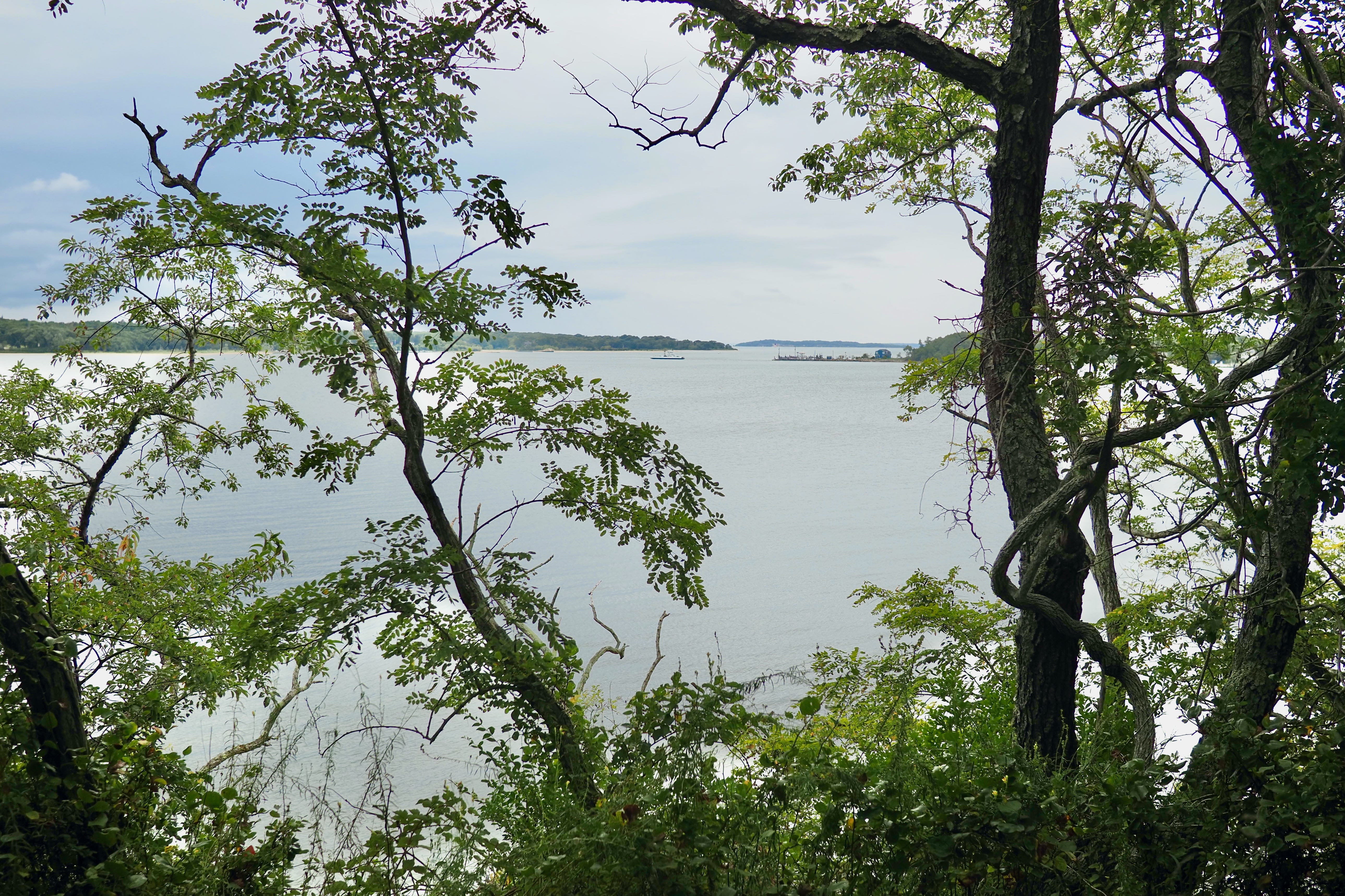
And the view along the way.
Each of the ferry crossings takes just a few minutes. Most people stay in their cars - although once in a blue moon you might see a ferry-loving Viking and her photo-blogging husband out in the open air, roaming the deck.
There isn’t a lot to see on the road across Shelter Island. There’s a little bit of a town at the North Fork side, but mostly it’s a country road through the woods.
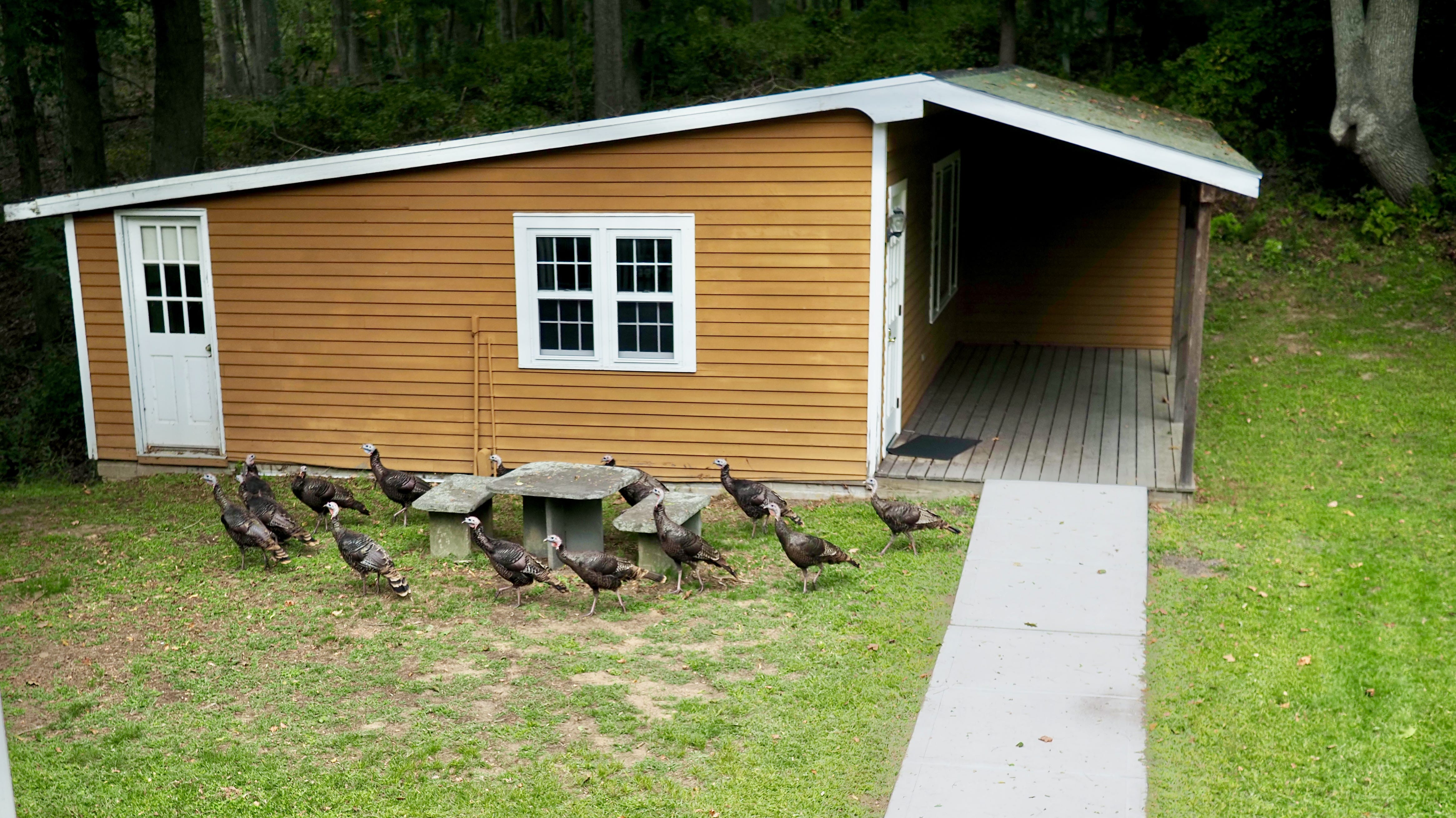
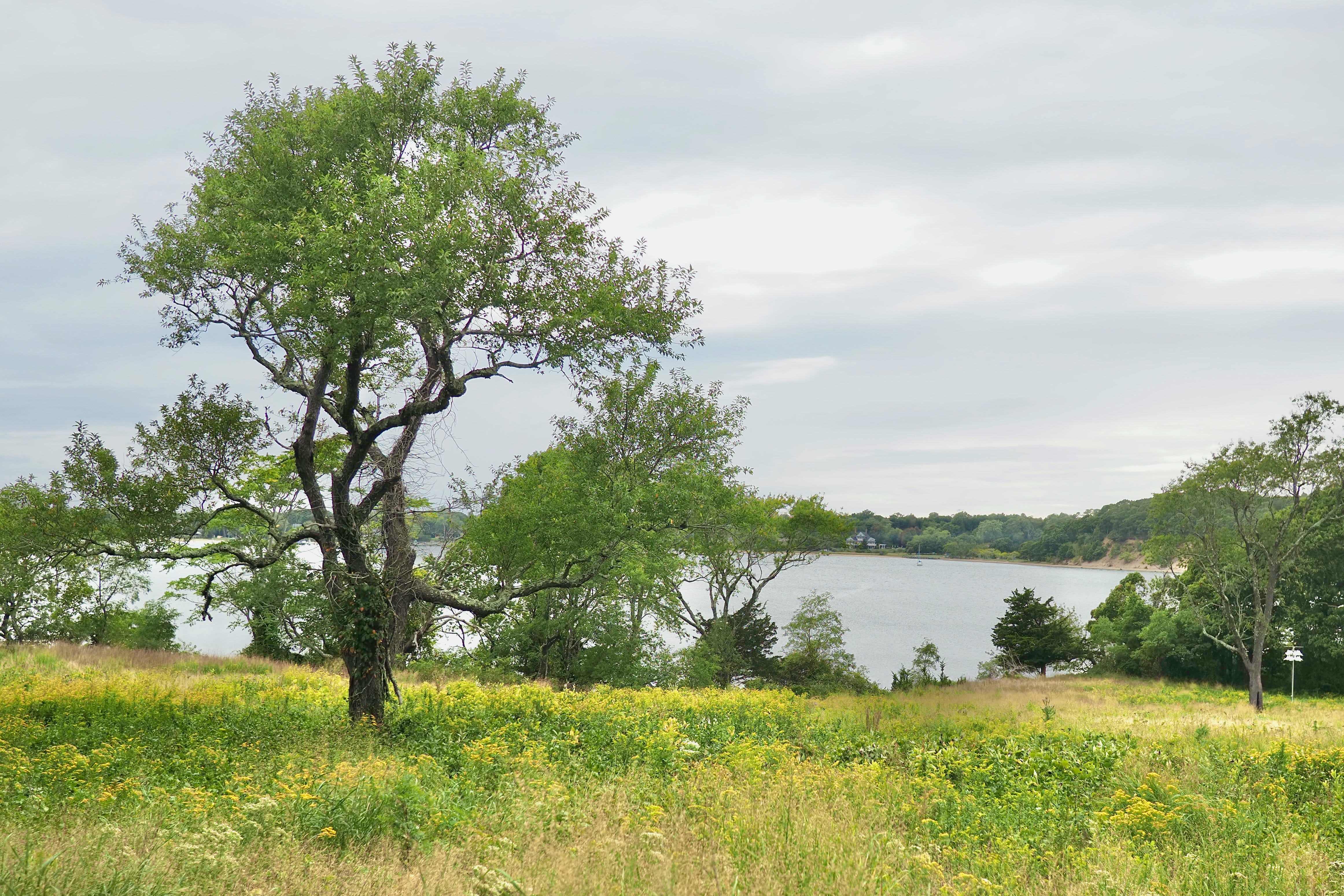
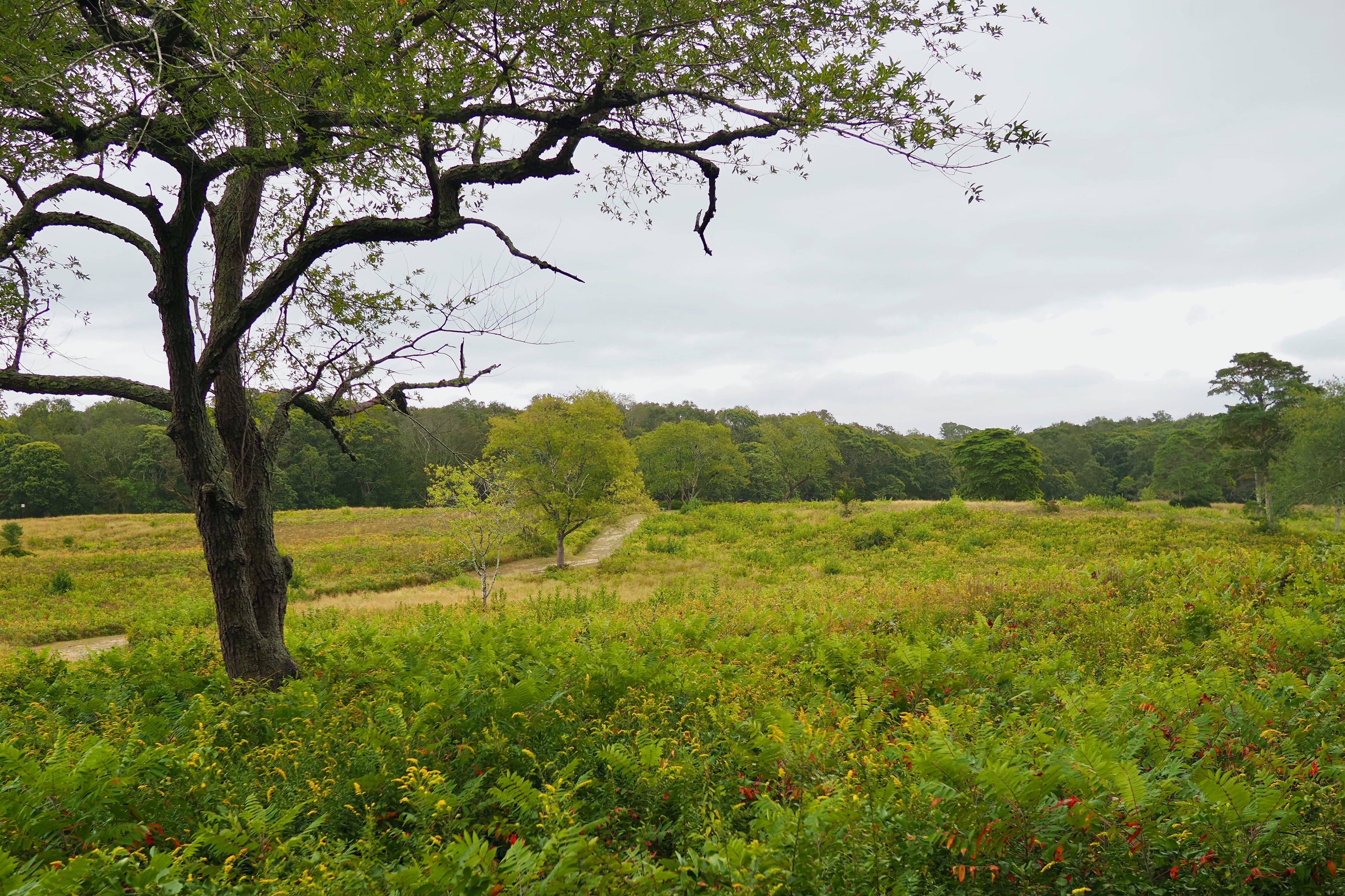
On our way back from the South Fork, we stopped for a hike at the Mashomack Nature Preserve, a park on the South Fork side. It’s quite a large and well-maintained park, with creeks, woodlands, fields, and 11 miles of coastline.
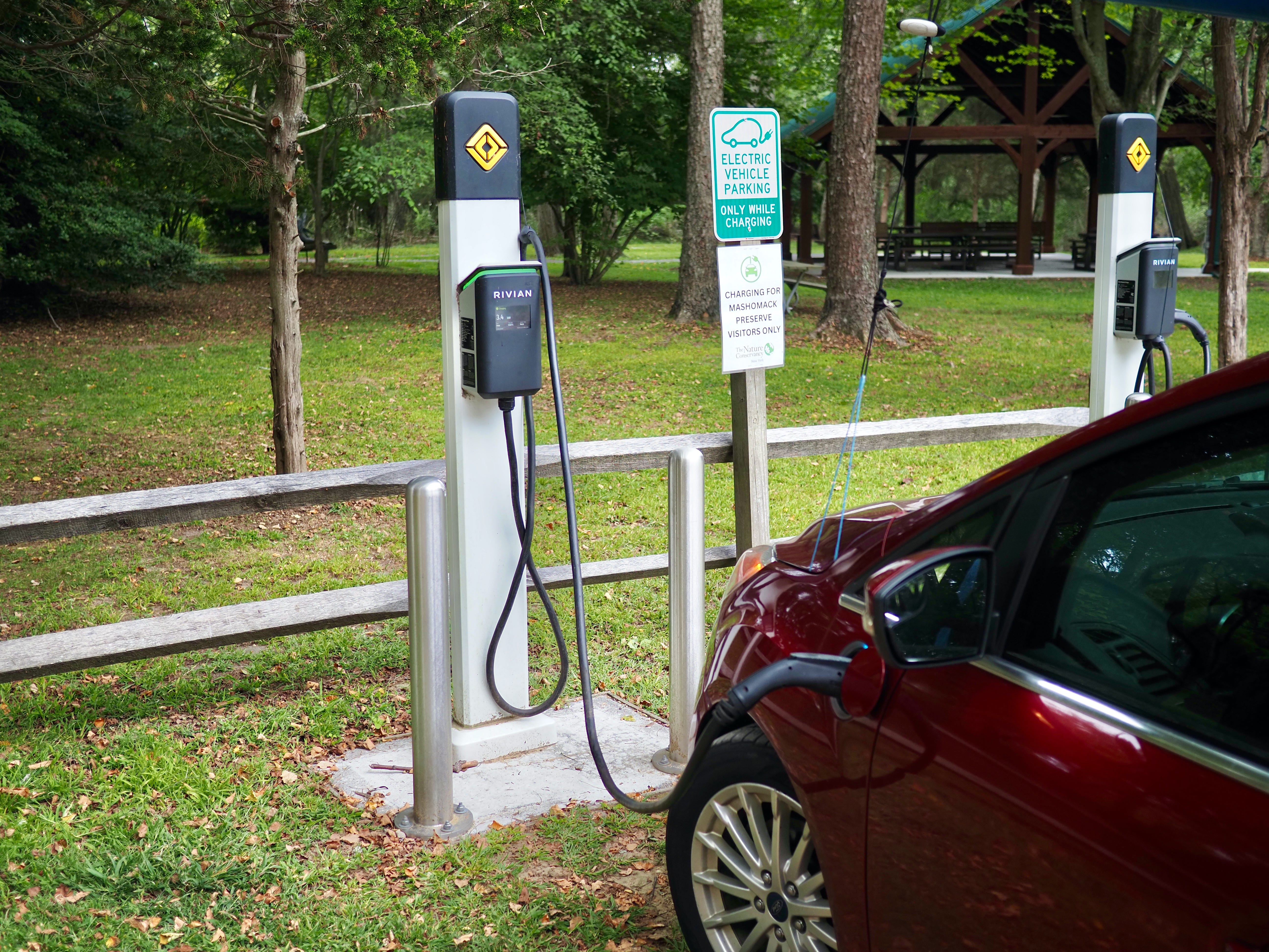
There was also free charging for my plug-in hybrid.
Other than a gaggle of turkeys and some deer, we had the whole place entirely to ourselves.
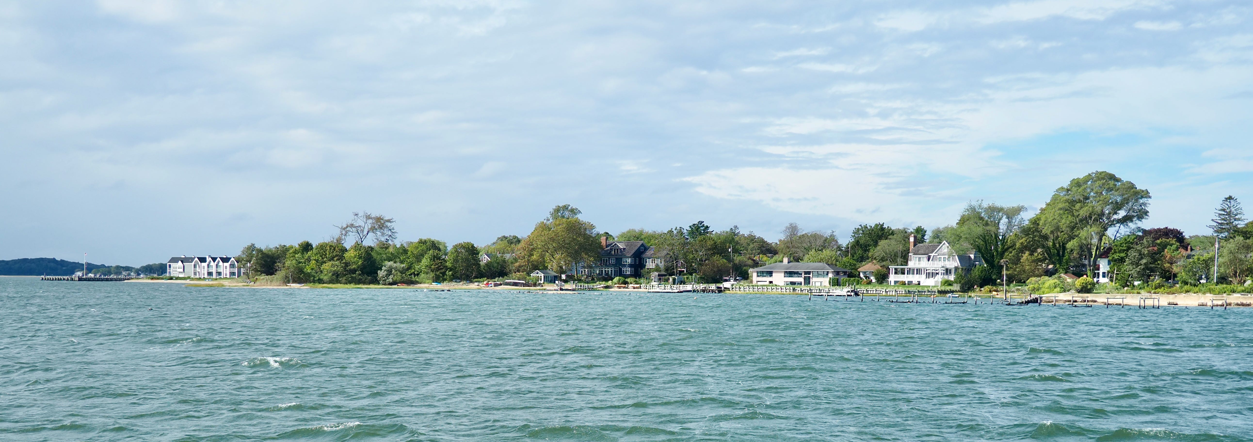
Outside of the nature preserve and the country road and the two ferry landings, I don’t know what’s hiding away on Shelter Island. There’s something, though, about the location and even the name. In my imagination, the homes there are idyllic getaways from all the noise and problems of the world.